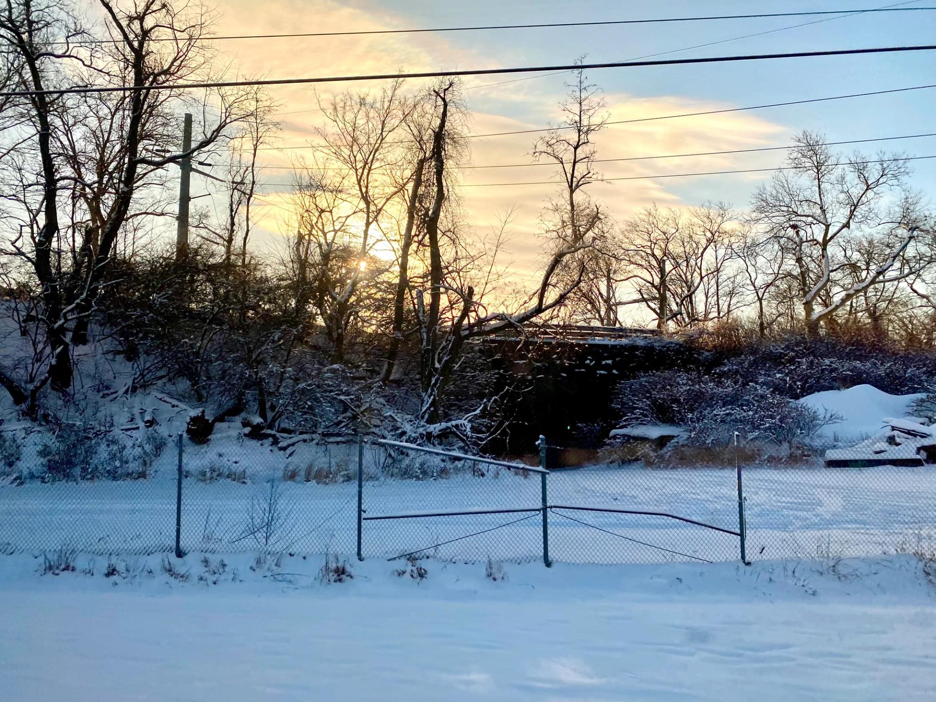
Today is supposed to be another snowy morning in Philadelphia, although we’ll just have to wait and see how much wintery weather actually comes to the region.
The Philly area’s snow patterns can be pretty random. Anthony Wood — weather reporter at the Philadelphia Inquirer and the author of “Snow: A History of the World's Most Fascinating Flake” — shared some fun snow facts and figures on the City Cast Philly podcast earlier this year. Here’s what he told us about winter weather patterns (or lack thereof) in our region. ❄️
We’re Located in a Unique Spot on Earth
Thanks to where Philadelphia is located in relation to the Gulf Stream, a current that brings warm water from the Gulf of Mexico into the Atlantic Ocean, “we get some really incredible storms that can match almost anything else on the planet,” Wood said.
“There are only two places on Earth — the other is off the coast of Japan — that [have] a similar warm current like that,” he said. “And storms blow up when cold air interacts with that warm water.”
Northwest Philly Tends To Get More Snow
Areas with higher elevations tend to accumulate more inches of snow, Wood said. That means neighborhoods like Manayunk, Roxborough, and Chestnut Hill tend to get more snow than somewhere like Center City. The same principle applies to elevated areas in the suburbs, too.
Annual Snow Stats Can Vary A Lot
On average, Philly gets an inch or more of snow around five days a year, Wood said. But the reality from year-to-year can be all over the place.
Total snowfall can vary a lot too, he said — from a two-year stretch in the 1950s where Philly didn’t even get six inches of snow, to the winter of 1996, when the city was blanketed with 30.7 inches of snow in just one storm.
“I guess what I'm saying in so many words,” Wood said, “is that in Philadelphia, snow is brought to you by the Pennsylvania lottery.”