Hey Philly editor Asha Prihar contributed to this article.
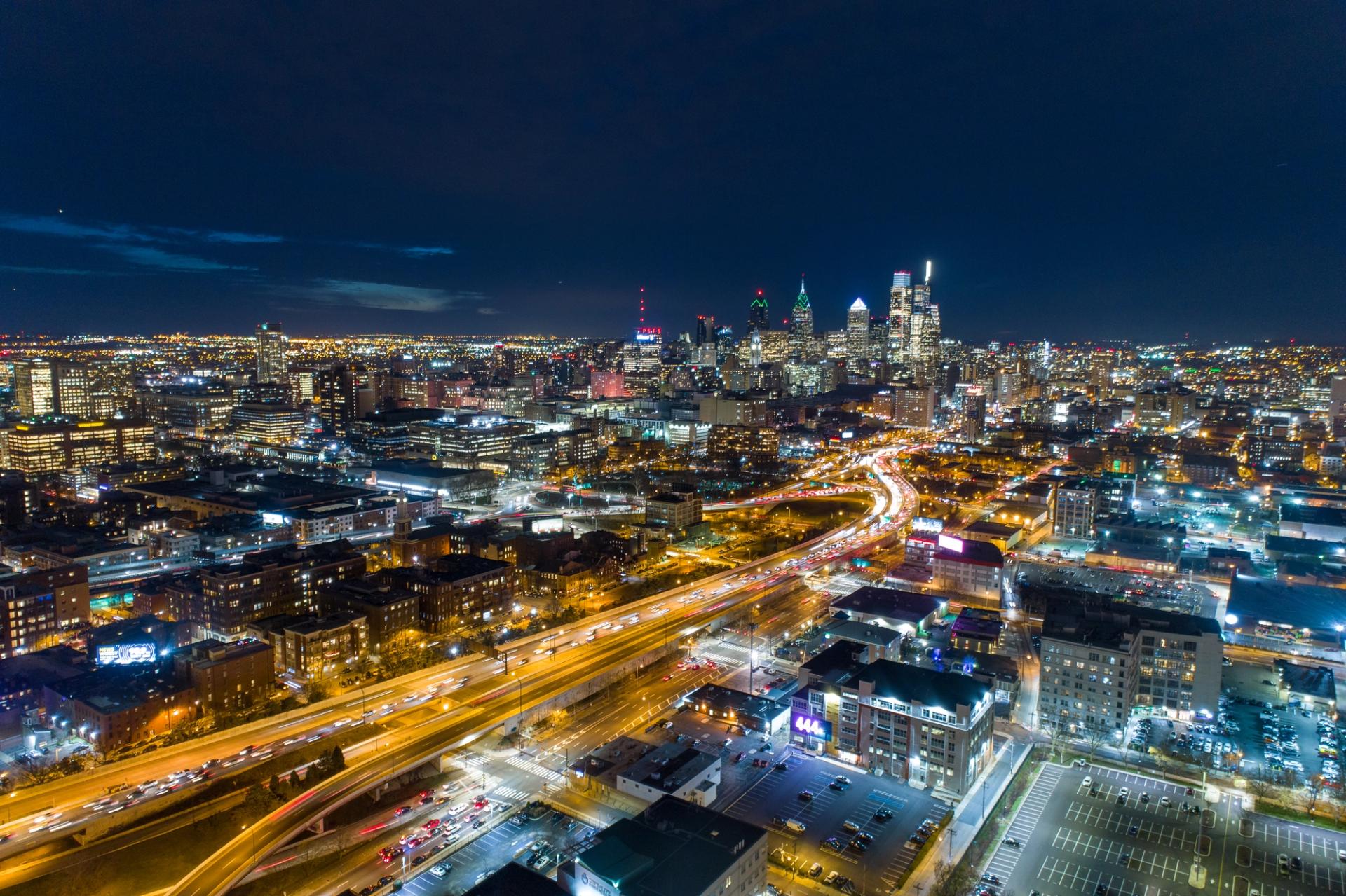
An unusually early heat wave shattered temperature records across the country in June, largely driven by a “heat dome” in the Northeast and Midwest regions. As if this wasn’t bad enough, we city dwellers have it worse due to something called the urban heat island effect, which causes urban areas to be 1-10°F warmer than their surroundings.
What Causes the Heat Island Effect?
There are several causes. Firstly, buildings, roads, and cars all absorb and re-emit the sun’s heat far more than natural landscapes do. Trees, water, and vegetation naturally cool the air by providing shade and evaporating surface water.
Additionally, vehicles, air conditioning, and industrial facilities all emit heat in cities, contributing to the heat island effect. Lastly, the structure of the city itself matters. Cities with narrow streets and tall buildings become urban canyons, blocking natural air flow that would otherwise cool it down.
Heat Island Impacts
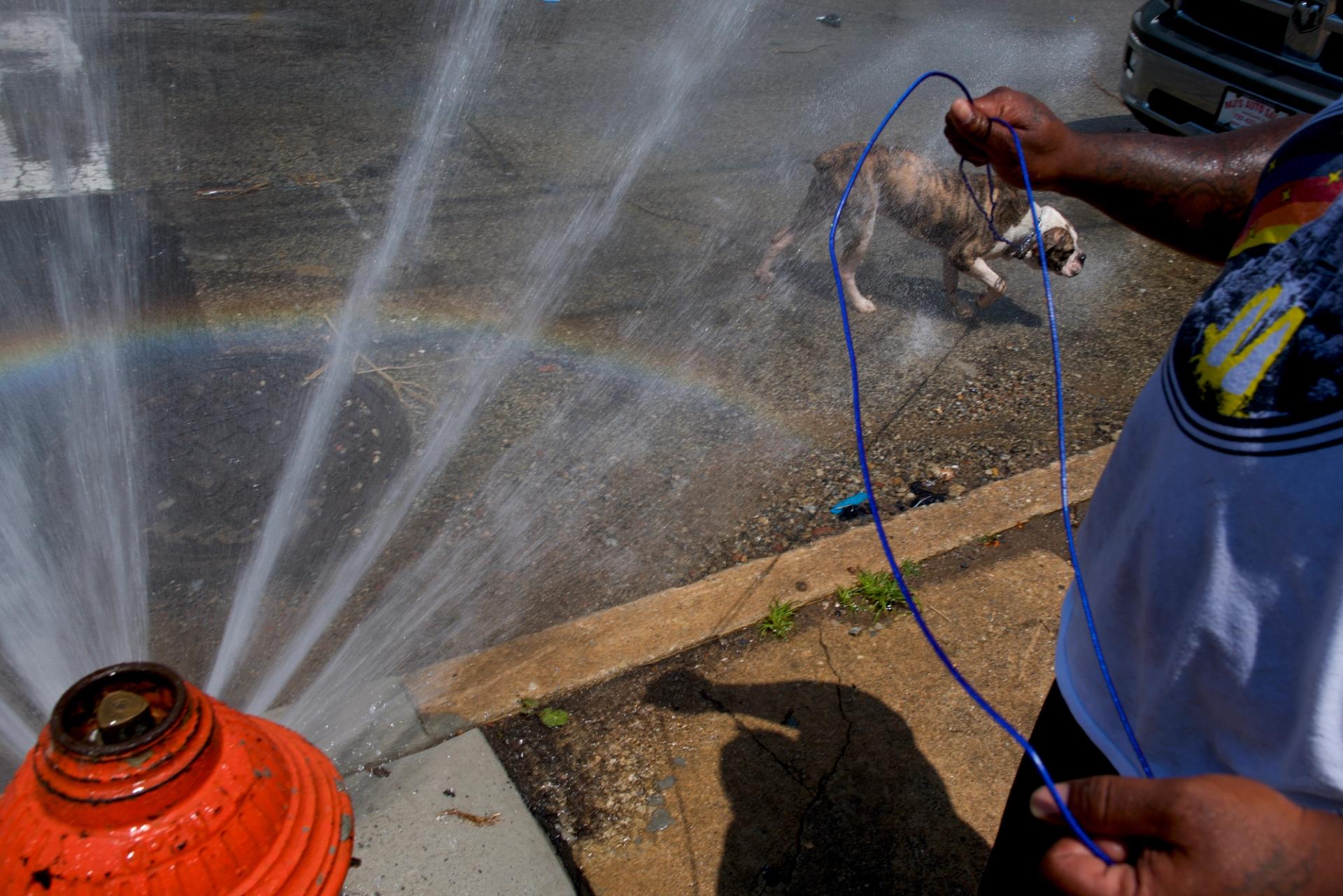
Besides the discomfort of living in a constant state of sweat (or is that just me?), heat islands also harm the environment. Higher temperatures mean more air conditioning, higher energy consumption, and more greenhouse gas emissions. The heat is also a serious threat to unhoused people and disproportionately affects low-income populations.
Where Heat Hits Hardest in Philly
In the Philly region, over 900,000 people live in places where the urban heat island effect raises temperatures by 8 or more degrees, according to an analysis by the nonprofit Climate Central. And there are some big disparities between neighborhoods.
To keep track of the areas of the city that are most at-risk when temperatures rise, the Philadelphia Department of Public Health and Office of Sustainability have developed something called the “Philadelphia Heat Vulnerability Index.” This metric considers how hot each particular neighborhood gets and whether people who live there are particularly vulnerable to heat-related illness.
According to the city’s Heat Vulnerability Index, much of North Philly is considered especially at-risk during extreme heat, along with swaths of West Philly and pockets of Northeast and South Philly.
Use this map to see where your block falls on the index. The map also shows where you can find health centers and urgent care, as well as pools, spraygrounds, senior centers, libraries, and parks where you may be able to cool off. (Here are some other tips for staying cool!)
Long-Term Cooling Strategies
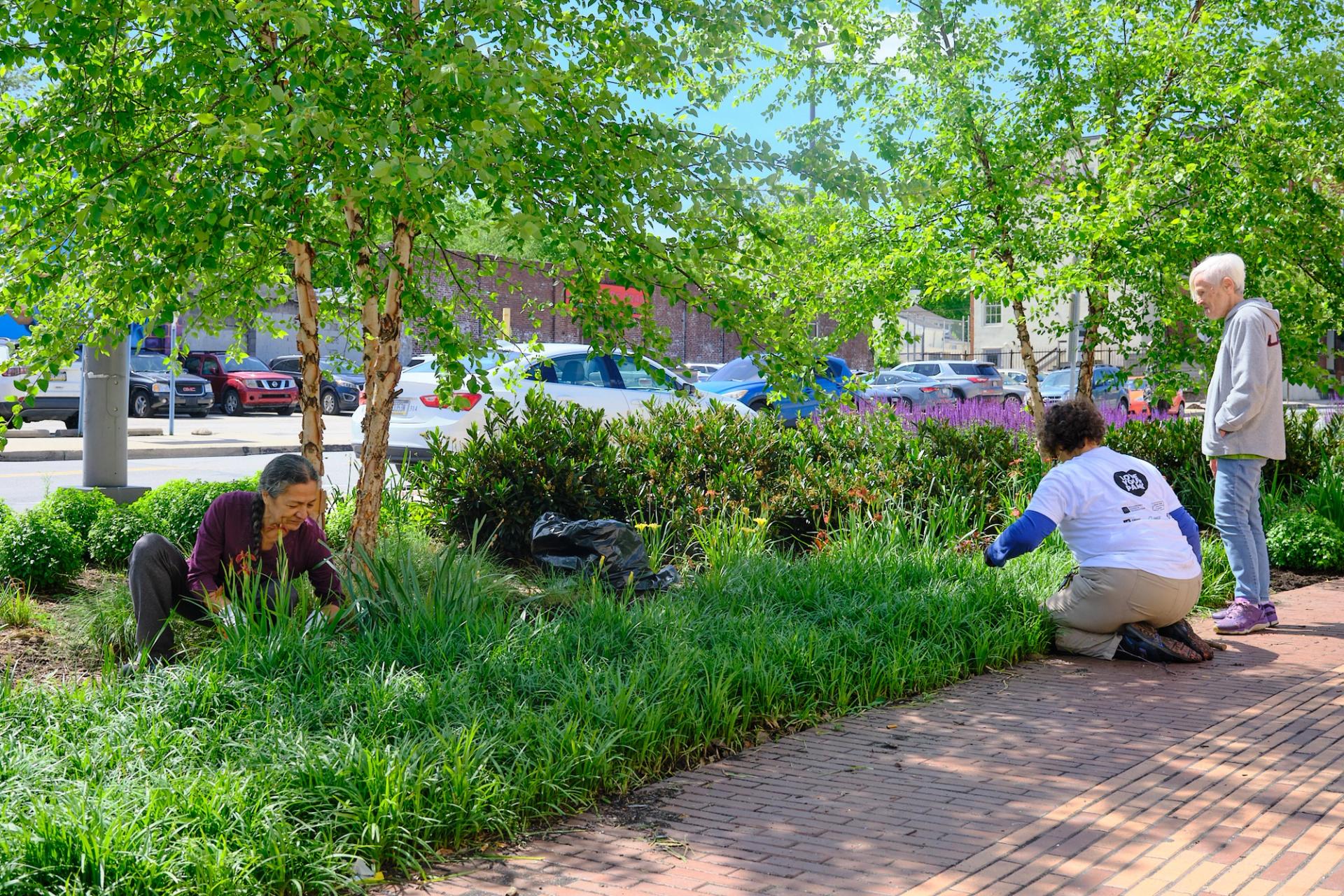
The best way to mitigate the heat island effect is to increase plant and vegetation cover. Roadside trees, green roofs, and parks are all examples of how cities can do this more effectively. The City of Philadelphia has a 10-year Tree Plan that aims to grow the city’s tree canopy, particularly in neighborhoods that currently lack coverage.